Trek Dirty to Me: 46 days until I start this shebang, and I have a few iPhone apps that will be joining me on the trail.
First of all, apologies for falling a couple of days behind in zee countdown to the AJ Appalachian Trail thru-hike kickoff extravaganza. I relocated from the hustle and bustle of Baga Beach, Goa, India to a jungle hut further north in Arambol, Goa, India.
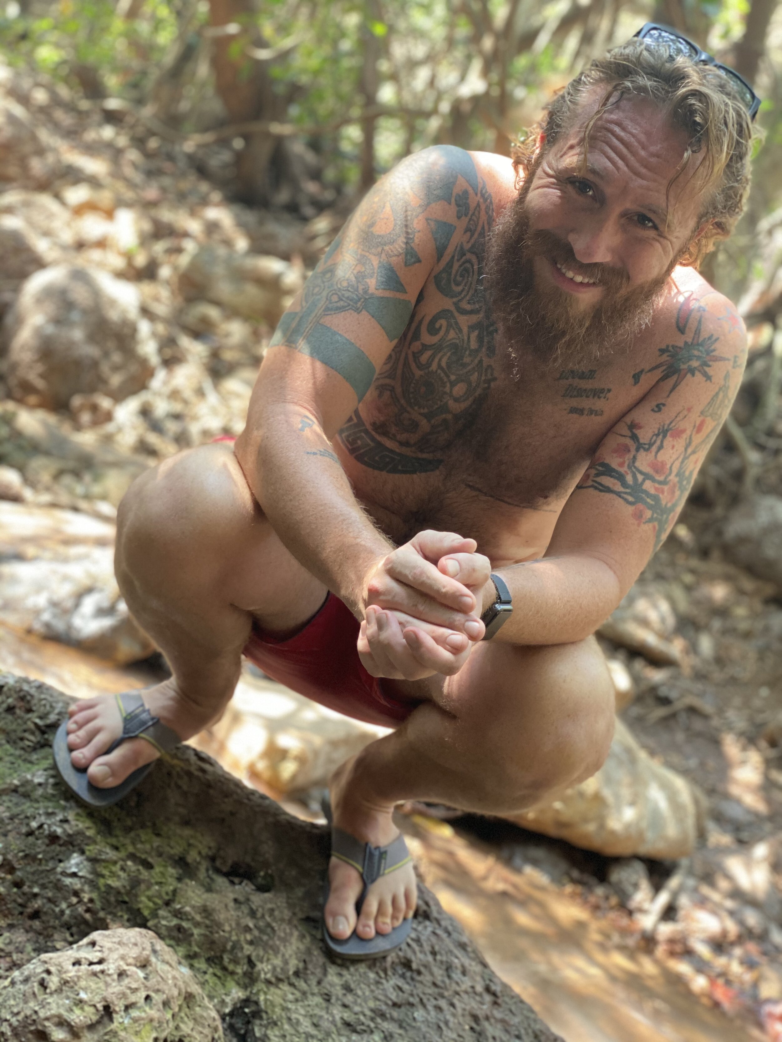
This new accommodation is much more my speed. I get to be lulled to sleep by the sound of tree frogs, crickets, and the crashing waves of the Arabian Sea. There are no clubs blasting music until 5am. Finally, I get to refill my drinking water from a natural spring in the jungle and carry it the 500 meters back to my hut. This is me, the hut and the water spring.
Me in the jungle
My jungle digs
Water from zee jungle spring
Okay, so now that I have caught you up to date, T-minus 46 days gives you a peak at three somewhat unique iPhone (and Android) applications that I will be using on the AT.
This dude has pretty much replaced compasses and maps (and a good number or traditional AT guidebooks). Essentially, I purchased a guide that is updated in real-time by other users (of which there are sooooo many) who can offer up-to-the-minute assessments of campsites, water sources, trail conditions, etc. Guidebooks for all three of the Triple Crown trails (the Pacific Crest and Continental Divide are the others in case you forgot, didn’t know, or are new) are also available for purchase, along with pretty much every other major trail both in the US and abroad. GPS allows you to see yourself in relation to the various waypoints representing all of the important features along the way. While I am perfectly capable of using a compass and a map, consolidating those into one app on my phone will be a pleasant tool.
AllTrails (I upgraded to Pro) is a bit different than Guthook. AllTrails relies almost exclusively on its more than 10 million users to populate its 100,000+ trails all over the world. A previous post found by clicking here, featured a list of trails in or around downtown Indianapolis (put there by users). I first tested this app in Albania when I did a day hike between Valbona and Theth over a particularly cheeky pass in the northern ‘Albanian Alps.’ AllTrails populates from pretty much every mapping source around to create multiple layers of actual mappy maps, over which you can see your little GPS dot. Combined with my Apple Watch, I get a nice little vibration nudge if I stray too far off trail (which came in handy on the glorified Albanian goat path). Furthermore, it tracks each photo you take during your hike, and gives you the option to make notes accordingly.
Finally, this little app is mostly just for fun, as it creates a little 3D video with geotagged photos along the way of each hike. It’s a little buggy recording directly from the app, but it pulls information from my watch and other tracking apps to create a nice recap of each day’s hike. I have enjoyed playing with this app in Goa, and I think it will create a neat way for folks at home to dive a little deeper into my hike. I also pay for the premium features for this app, and it offers some cool additional tools to bring the hike recaps to life.
The Others
I will be using other apps as well (of course), but these are the ones that are pretty specific to the trail(s). I have premium versions of Gaia GPS (more maps, including hunting maps), ViewRanger (sort of a cross between Guthook and AllTrails) and WalkTheDistance (a fun way to track distance progress in relation to various distance feats - including the Appalachian Trail) that I will play with among other apps along the way.
If there are any others that I should check out, I am always down for testing new apps ( to which anybody who has seen my phone and its more than 400 apps can attest). Let me know!
-AJ


My first Father’s Day.